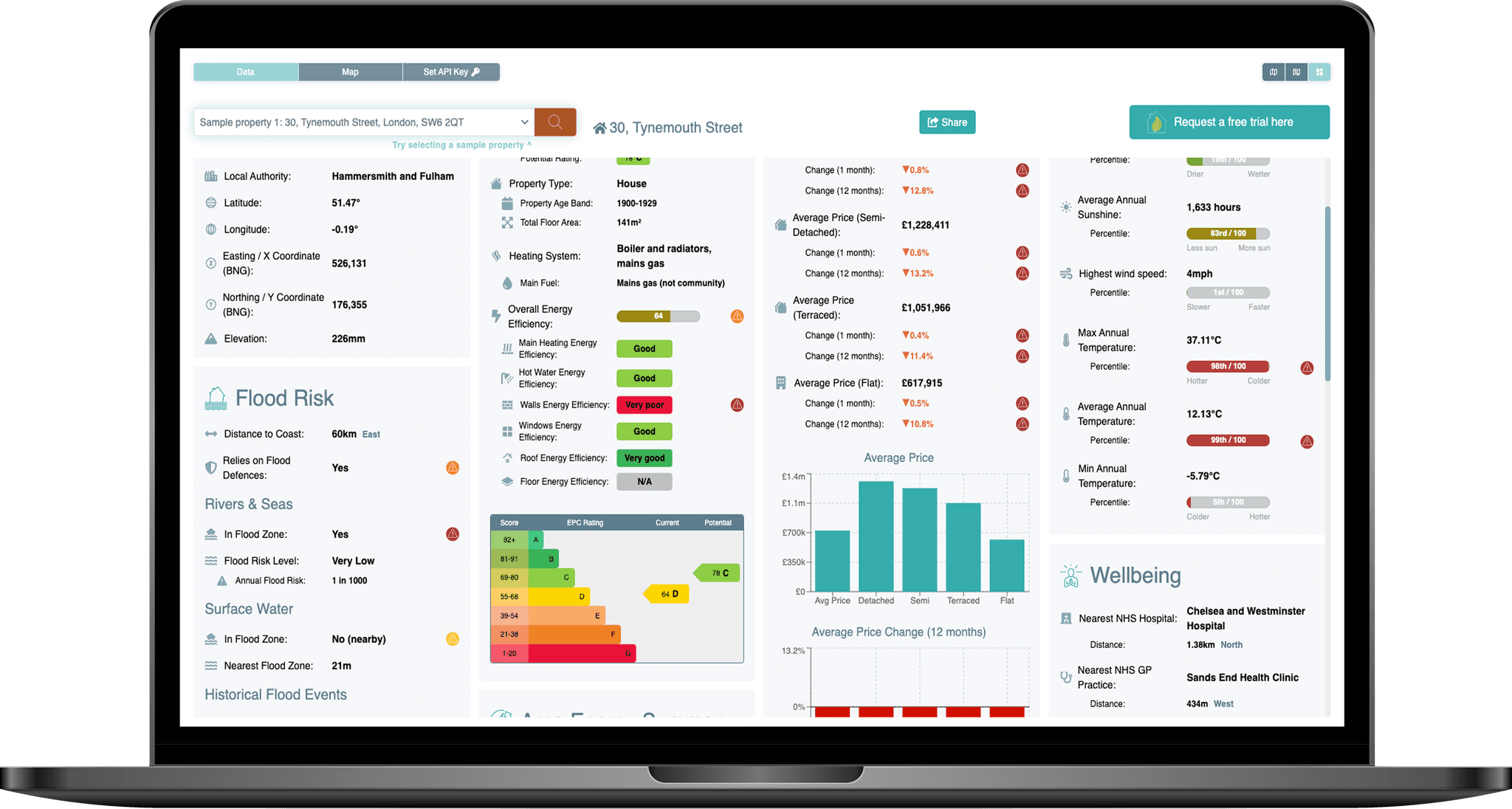
Energy Model Product Shot

Flood Risk API

Generate comprehensive assessments of current & future flood risk at UK properties or locations.

Access risk assessments alongside complimentary data including historical flood events and reliance on flood defences.

The PropEco Flood Risk API provides data & analysis relating to the flood risk at UK properties and locations. Each assessment includes:

Flood risk

Risk of flooding from rivers, seas and surface water.

Flood risk with climate change

Risk of flooding across future climate change scenarios.

Elevation

Height above sea level of the property or location.

Historical flooding

Details of recorded flood events.

Flood defences

A check to determine whether the property or location benefits from flood defences.

Access hundreds of data points with just four lines of code and a coordinate.
{ "england": { "rivers_and_seas": { "in_flood_risk_zone": true, "annual_flood_risk": 0.001, "flood_risk_description": "Very low", "nearest_flood_risk_zone": { "max_annual_flood_risk": 0.001, "min_annual_flood_risk": null, "flood_risk_description": "Very low", "distance": 0, "nearest_point": null }, "highest_risk_flood_zone_within_50m": { "max_annual_flood_risk": 0.001, "min_annual_flood_risk": null, "flood_risk_description": "Very low", "distance": 0, "nearest_point": null } }, "rivers_and_seas_climate_change": { "in_flood_risk_zone": true, "annual_flood_risk": 0.001, "flood_risk_description": "Very low", "nearest_flood_risk_zone": { "max_annual_flood_risk": 0.001, "min_annual_flood_risk": null, "flood_risk_description": "Very low", "distance": 0, "nearest_point": null }, "highest_risk_flood_zone_within_50m": { "max_annual_flood_risk": 0.001, "min_annual_flood_risk": null, "flood_risk_description": "Very low", "distance": 0, "nearest_point": null } }, "surface_water": { "in_flood_risk_zone": true, "annual_flood_risk": 0.01, "flood_risk_description": "Low", "nearest_flood_risk_zone": { "max_annual_flood_risk": 0.01, "min_annual_flood_risk": 0.001, "flood_risk_description": "Low", "distance": 0, "nearest_point": null }, "highest_risk_flood_zone_within_50m": { "max_annual_flood_risk": null, "min_annual_flood_risk": 0.033, "flood_risk_description": "High", "distance": 15.811388300841896, "nearest_point": { "x_coord": 526140, "y_coord": 176368, "latitude": 51.47222477748521, "longitude": -0.1852105747949554 } } }, "surface_water_climate_change": { "in_flood_risk_zone": true, "annual_flood_risk": 0.01, "flood_risk_description": "Low", "nearest_flood_risk_zone": { "max_annual_flood_risk": 0.01, "min_annual_flood_risk": 0.001, "flood_risk_description": "Low", "distance": 0, "nearest_point": null }, "highest_risk_flood_zone_within_50m": { "max_annual_flood_risk": null, "min_annual_flood_risk": 0.033, "flood_risk_description": "High", "distance": 3, "nearest_point": { "x_coord": 526134, "y_coord": 176355, "latitude": 51.472109281004265, "longitude": -0.185301550707292 } } } }, "scotland": null, "wales": null, "flood_defences": { "protected_by_flood_defence": true, "nearest_location_protected_by_flood_defence": { "distance": 0, "nearest_point": null } }, "elevation": { "elevation_upper": 3.38, "elevation_lower": -1.74, "elevation_estimate": 0.22616070943282707, "distance_from_upper": 264.82580663159666, "distance_from_lower": 424.7964218305467, "azimuth_ascending_degrees": 109.46256560940512, "azimuth_descending_degrees": 56.639128942775336, "is_above_high_tide_line": false }, "nearest_coastal_point": { "distance": 30724.878493703334, "azimuth_degrees": 90.49706750391849, "x_coord": 556854.722267165, "y_coord": 176088.450749494, "latitude": 51.462038937084245, "longitude": 0.25656558408344476 }, "recorded_flood_events": { "in_flood_event_boundary": false, "events": [ { "distance": 255.3779131003545, "name": "TTD_FEO_1928", "start_date": "1928-01-06T00:00:00.000Z", "end_date": "1928-01-07T00:00:00.000Z", "flood_source": "main river", "flood_cause": "overtopping of defences", "nearest_point": { "azimuth_degrees": 349.4244475461582, "x_coord": 526084.13, "y_coord": 176606.039999999, "latitude": 51.47437650776978, "longitude": -0.1859297667472364 } } ] } }

API pricing

Flexible subscriptions for accessing PropEco property and location intelligence through our APIs.

Exploration

£29/mo

2,500 credits / month

  • Up to 250 standard API calls
  • Access to all API endpoints

Start-up

£69/mo

7,500 credits / month

  • Up to 750 standard API calls
  • Access to all API endpoints
Most Popular

Scale-up

£149/mo

30,000 credits / month

  • Up to 3,000 standard API calls
  • Access to all API endpoints

Professional

£249/mo

60,000 credits / month

  • Up to 6,000 standard API calls
  • Access to all API endpoints

Prices exclude VAT. Usage is based on credits. Standard API calls consume 10 credits, while some premium endpoints consume additional credits.

Need higher volumes, bulk data access or a bespoke solution? View enterprise options
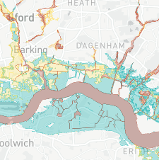
Maps

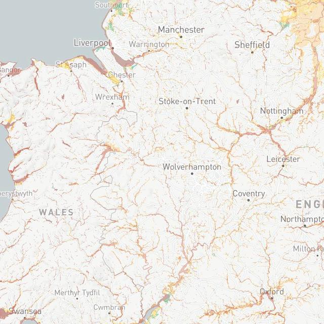
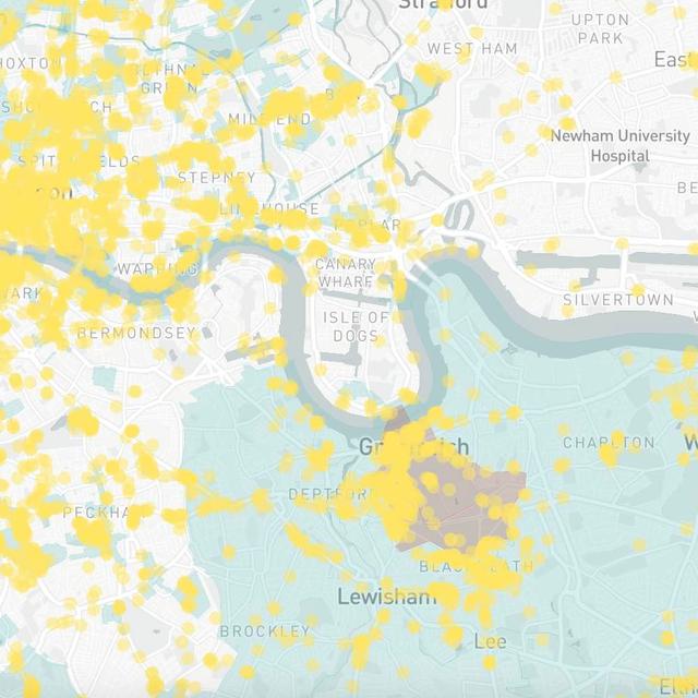
Easily integrate detailed, up-to-date map layers into existing websites or applications.

Data explorer map example 1
Data explorer map example 2
Data explorer map example 3
Data explorer map example 1
Data explorer map example 2
Data explorer map example 3

Data Explorer

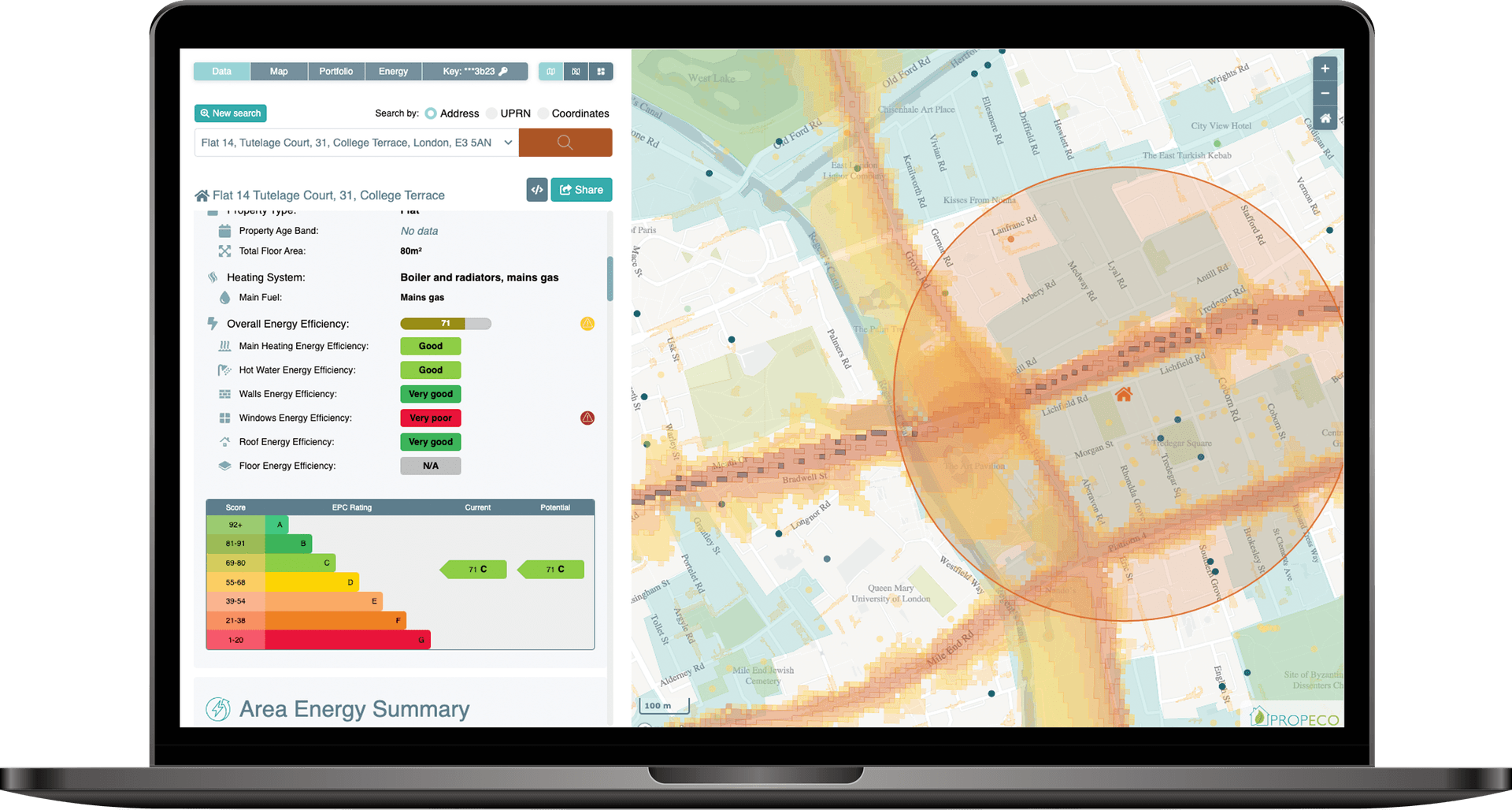
Instantly access property-specific data, maps and tools through the PropEco Data Explorer.

data explorer mock up

Need more information? Submit any questions or requests via the form below.

You can also contact us at info@propeco.io or connect with us on LinkedIn here.